| nostromos bLog | |||||
|
"bLog means boring-Log"
categories
* all entries (445)
* concerts (28)
* misc (120)
* techtalk (18)
* travel (241)
`-bruxelles_07 (8)
`-hongkong_09 (13)
`-iceland_10 (14)
`-ireland_16 (7)
`-newzealand_11 (5)
`-scandinavia_07 (22)
`-scandinavia_16 (17)
`-scotland_15 (11)
`-strasbourg_08 (4)
* zoo (38)
`-schoenbrunn (16)
chronology
|
Fri, 05 Sep 2014 day 20 in mountie-land, (0 comments)
last day for us in the banff area, and thus in the rocky mountains. so time for some more trails and falls before leaving here.
while driving to our first goal, we passed through the sawback prescribed fire area[003-009], where 1993 a fire was intentionally started here to burn down the trees and restart the floral live cycle. and after more than 20 years there were only a few new trees, short grass, and the burnt tree trunks still lying around not decayed or devoured by maggots and fungi? hm... seemed pretty strange to me, but that is what the nearby sign said.
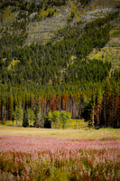
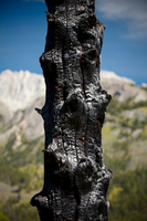
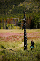
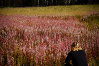
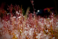
nearby, while driving further up the bow parkway, there was a meadow with loads of red flowers[010-026], and a single burnt tree trunk[011-013,023,025-026], still standing. the colours and the size of this field of flowers were really impressive.
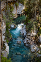
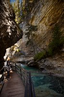
a little further up the highway we reached the parking lot from where we started the johnston canyon trail[027-096]. there is a paved walkway with bridges going right through the canyon. and it has two water falls, an upper, and a lower one. we started with the trail to the upper one[027-084].
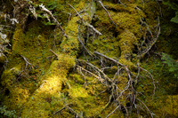
the walk was nice, not too steep or strenuous, and had all the stuff we liked about the trails so far; cute squirrels, awesome trees, and thunderous waterfalls. and we noticed some strange coloured trees[041,043] that were bright yellow, like being covered in sulphur. we guessed it was some kind of fungal disease.
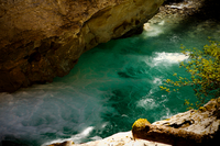
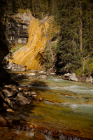
although signs encourage people to stay on the paved walkway, we left it to get right down to the river[065-068] and have a little picnic there, as the ground seemed save enough to climb down safely. there we also spotted the yellow stone wall[066,069-070,077,079] on the other side of the water. it looked like some sort of sedimentation.
after having reached the upper falls, we went back again, took a turn and reached the lower fall[085-096], where one can enter a small cave that was eroded by the lower fall, before it fell back to its current position. pretty astonishing and impressive.
back at the johnston canyon resort[097] we had a delicious and tasty burger. nomnom, just the right thing after a little hike.
although it was already late in the afternoon we thought there is still time for another trail and some more falls. so we drove on to do the silverton falls trail[100-110].
in contrast to the rather crowded johnston canyon trail, here we were on our own again (and really just us, no bears, cougars, or other animals to be spotted. buhuuuu, too sad). after about 20 minutes of walking, we reached the fall[105,107-108]. we carved "N+N" into the rocks, and went back to the parking lot.
on our drive home to banff, we stopped at a rest place next to the moose meadows[111-118] (of course without a single moose).
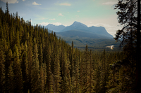
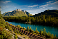
we had another stop at the bow river rest place[120-128], that was rather hidden, and besides two lovebirds that were just leaving when we had arrived, we were the only ones there. the view was awesome, and at the foot of the hill, there were railroad tracks and a river. it was totally silent there, another site that will be added to the tons of memorable places here in canada.
after a last shot of banff's landmark mountain[129] with its unique shape, and then we drove back to spend the last night in the canadian rocky mountains. oh, i will miss them. very much.
so very very much.
track for day 20.
top [ ^ ]
|
||||
